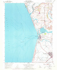
1954 Map of Moss Landing
USGS Topo · Published 1973About this map
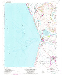
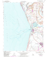
Monterey Canyon carves a deep submarine channel directly offshore from Moss Landing, creating a unique coastal geography where deep-water maritime access meets a complex network of coastal wetlands. This 1954 landscape is defined by the confluence of the Pajaro River, Elkhorn Slough, and the Salinas River, which together form a low-lying mosaic of salt marshes, mudflats, and sloughs. The infrastructure of the era is evident in the prominent Power Plant at the harbor mouth and the Southern Pacific tracks winding through the marshlands. Further inland, the map captures the transition to agriculture and early residential settlement near Castroville, with cultural landmarks like the Moss Landing Union School and the Castroville Moss Ldg Cem serving the local population. Large land grants, including Bolsa Nueva y Moro Cojo, still define the territorial boundaries of the Monterey County coast.
Find a feature on this map
36 named features on this map. Tap any name to fly to it.
Don’t see what you’re looking for? This feature index may not catch every label — zoom into the map to look around manually.
Map Details
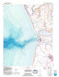
Editions of this 1954 Moss Landing Map
7 editions found
Other maps of this area

1910 · Salinas
USGS Topo · 1:31,680

1912 · Salinas
USGS Topo · 1:62,500

1912 · Capitola
USGS Topo · 1:62,500

1913 · Monterey
USGS Topo · 1:62,500

1914 · Capitola
USGS Topo · 1:62,500

1915 · San Juan Bautista
USGS Topo · 1:48,000

1917 · San Juan Bautista
USGS Topo · 1:62,500

1939 · San Juan Bautista
USGS Topo · 1:62,500

1940 · San Juan Bautista
USGS Topo · 1:62,500

1940 · Salinas
USGS Topo · 1:62,500