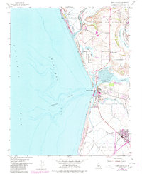
1954 Map of Moss Landing
USGS Topo · Published 1980About this map
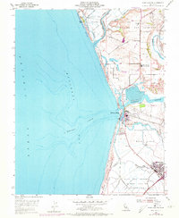
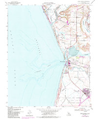
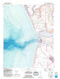
The complex wetland systems of Elkhorn Slough and the Pajaro River meet the Pacific Ocean in this 1954 coastal survey, updated through 1980. The deep underwater canyon of Monterey Canyon is visible just offshore, a submarine feature that directly influences the area's rich marine ecology. On land, the map documents the transition between industrial and agricultural landscapes, showing the Power Plant at Moss Landing alongside the extensive rail infrastructure of the Southern Pacific railroad.
Find a feature on this map
33 named features on this map. Tap any name to fly to it.
Don’t see what you’re looking for? This feature index may not catch every label — zoom into the map to look around manually.
Map Details
Editions of this 1954 Moss Landing Map
7 editions found
Other maps of this area

1910 · Salinas
USGS Topo · 1:31,680

1912 · Salinas
USGS Topo · 1:62,500

1912 · Capitola
USGS Topo · 1:62,500

1913 · Monterey
USGS Topo · 1:62,500

1914 · Capitola
USGS Topo · 1:62,500

1915 · San Juan Bautista
USGS Topo · 1:48,000

1917 · San Juan Bautista
USGS Topo · 1:62,500

1939 · San Juan Bautista
USGS Topo · 1:62,500

1940 · San Juan Bautista
USGS Topo · 1:62,500

1940 · Salinas
USGS Topo · 1:62,500