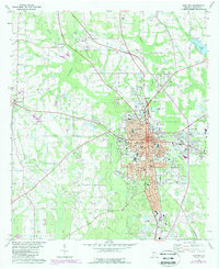
1978 Map of Moultrie
USGS Topo · Published 1988About this map
Moultrie serves as a significant regional hub in southwest Georgia, shown here during a period of late-century expansion. The urban core is anchored by the City Hall, the Federal Bldg, and a concentration of schools including the High Sch and Jr High Sch. The town's industrial and logistical character is defined by the Georgia Northern Railroad corridor and numerous facilities like the Industrial Waste Ponds and various substations that support the growing city.
Find a feature on this map
49 named features on this map. Tap any name to fly to it.
Don’t see what you’re looking for? This feature index may not catch every label — zoom into the map to look around manually.
Map Details
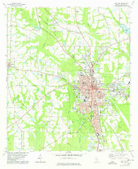
Editions of this 1978 Moultrie Map
2 editions found
Other maps of this area

1953 · Waycross
USGS Topo · 1:250,000

1956 · Doerun
USGS Topo · 1:62,500

1958 · Waycross
USGS Topo · 1:250,000

1973 · Norman Park
USGS Topo · 1:24,000
1974 · Doerun
USGS Topo · 1:24,000
1974 · Sigsbee
USGS Topo · 1:24,000

1974 · Pineboro
USGS Topo · 1:24,000
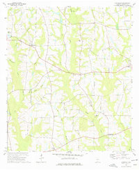
1974 · Hartsfield
USGS Topo · 1:24,000
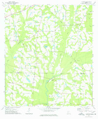
1977 · Chastain
USGS Topo · 1:24,000
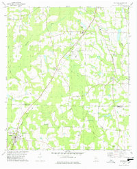
1978 · Coolidge
USGS Topo · 1:24,000