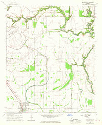
1966 Map of Mound Bayou
USGS Topo · Published 1967About this map
The Illinois Central railroad corridor anchors this 1966 view of the Mississippi Delta, tracing a line of settlement through the historic community of Mound Bayou and north into Winstonville. This landscape is defined by the complex hydrology of the Yazoo Basin, where the meandering Hushpuckena River and the Big Sunflower River frame a patchwork of agricultural fields and drainage bayous like Little Mound Bayou.
Find a feature on this map
26 named features on this map. Tap any name to fly to it.
Don’t see what you’re looking for? This feature index may not catch every label — zoom into the map to look around manually.
Map Details
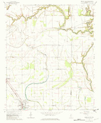
Editions of this 1966 Mound Bayou Map
2 editions found
Other maps of this area

1930 · Mellwood
USGS Topo · 1:62,500

1931 · Drew
USGS Topo · 1:48,000

1935 · Clarksdale
USGS Topo · 1:62,500

1935 · Mound Bayou
USGS Topo · 1:62,500

1939 · Pace
USGS Topo · 1:62,500

1939 · Clarksdale
USGS Topo · 1:62,500

1939 · Mellwood
USGS Topo · 1:62,500

1948 · Helena
USGS Topo · 1:250,000

1950 · Helena
USGS Topo · 1:250,000

1953 · Greenwood
USGS Topo · 1:250,000