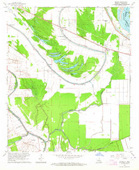
1963 Map of Mound
USGS Topo · Published 1964About this map
Mound and the surrounding alluvial lowlands of Madison Parish are defined by the intricate winding of Walnut Bayou and Roundaway Bayou as they meander toward the Mississippi River. The landscape is a complex of oxbow lakes and sloughs, including Texas Lake, Big Lake, and Long Lake, which illustrate the river's historical shifts. This 1963 survey captures the rural character of the region, anchored by the Illinois Central railroad and a network of landing strips like Yerger Landing Strip and Red Beard Landing Strip. The map is particularly notable for its record of African American community life, preserving the locations of numerous churches and cemeteries such as Mt Moriah Ch No 1, Shady Grove Ch, and Thomastown Cem. Visible Indian Mounds near St John Ch point to the much deeper indigenous history of this river valley, while scattered settlements like Thomastown and Fortune Fork show the twentieth-century distribution of agricultural life.
Find a feature on this map
43 named features on this map. Tap any name to fly to it.
Don’t see what you’re looking for? This feature index may not catch every label — zoom into the map to look around manually.
Map Details
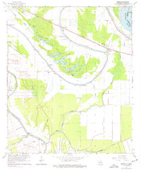
Editions of this 1963 Mound Map
2 editions found
Other maps of this area

1909 · Millikens Bend
USGS Topo · 1:24,000

1909 · Tallulah
USGS Topo · 1:24,000

1909 · Mound
USGS Topo · 1:24,000

1910 · Mound
USGS Topo · 1:31,680

1918 · Vicksburg
USGS Topo · 1:62,500

1939 · Talla Bena
USGS Topo · 1:62,500

1939 · Yokena
USGS Topo · 1:62,500

1941 · Vicksburg
USGS Topo · 1:62,500

1955 · Jackson
USGS Topo · 1:250,000

1961 · Jackson
USGS Topo · 1:250,000