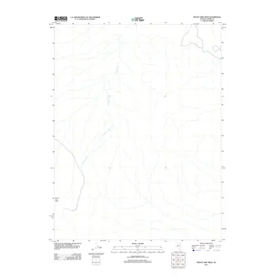
2011 Map of Mount Airy Mesa
USGS Topo · Published 2011About this map
Mount Airy Mesa stands as the primary landmark in this Nevada landscape at the start of the 2010s. The topography is defined by the drainage network of Antelope Creek, which winds from the southwest toward the northeast across a terrain of high-altitude basin and range. This 2011 survey by the U.S. Geological Survey captures a sparsely developed portion of Lander County, where the emphasis remains on the natural drainage patterns and the elevation changes surrounding the mesa. The map illustrates how seasonal water flow from Antelope Creek has carved the landscape, providing a technical look at the physical geography of the Great Basin during this era.
Find a feature on this map
2 named features on this map. Tap any name to fly to it.
Don’t see what you’re looking for? This feature index may not catch every label — zoom into the map to look around manually.
Map Details
Editions of this 2011 Mount Airy Mesa Map
This is the sole edition of this map. No revisions or reprints were ever made.
Other maps of this area

1955 · Millett
USGS Topo · 1:250,000

1956 · Austin
USGS Topo · 1:62,500

1959 · Millett
USGS Topo · 1:250,000

1969 · Mount Airy
USGS Topo · 1:24,000

1969 · Vigus Butte
USGS Topo · 1:24,000

1969 · Vigus Butte NW
USGS Topo · 1:24,000

1969 · Mount Airy NW
USGS Topo · 1:24,000

1969 · Mount Airy NE
USGS Topo · 1:24,000

1969 · Gandolfo Canyon
USGS Topo · 1:24,000

1969 · Mount Airy Mesa
USGS Topo · 1:24,000