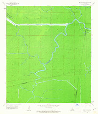
1962 Map of Mount Airy NW
USGS Topo · Published 1963About this map
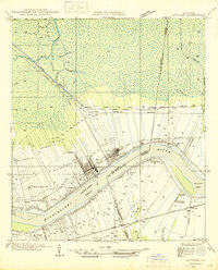
Low-lying cypress-tupelo swamp and hardwood bottomlands dominate the landscape at the intersection of Ascension, Livingston, and St. James Parishes. The Blind River meanders south through this dense network of wetlands, joined by numerous tributaries including Bayou Chene Blanc and Alligator Bayou. Modern hydraulic engineering is evident in the presence of the Amite River Diversion Canal, which cuts a straight line across the northern sections of the map to manage regional drainage.
Find a feature on this map
23 named features on this map. Tap any name to fly to it.
Don’t see what you’re looking for? This feature index may not catch every label — zoom into the map to look around manually.
Map Details
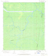
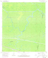
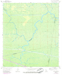
Editions of this 1962 Mount Airy NW Map
4 editions found
Other maps of this area

1892 · Mount Airy
USGS Topo · 1:62,500

1892 · Donaldsonville
USGS Topo · 1:62,500

1934 · Denham Springs
USGS Topo · 1:62,500

1934 · Springfield
USGS Topo · 1:62,500

1939 · Springfield
USGS Topo · 1:62,500

1939 · Denham Springs
USGS Topo · 1:62,500

1939 · Donaldsonville
USGS Topo · 1:62,500

1946 · North of Garyville
USGS Topo · 1:31,680

1946 · Convent
USGS Topo · 1:31,680
1946 · Lutcher
USGS Topo · 1:31,680
Featured Places
- Livingston Parish, LA
- Ascension Parish, LA
- St. John the Baptist Parish, LA
- St. James Parish, LA
- United States