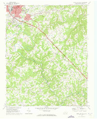
1970 Map of Mount Airy South
USGS Topo · Published 1973About this map
The Ararat River carves a deep valley through this Piedmont landscape, serving as the topographical anchor for the communities of Mount Airy and Bannertown. By 1970, the southern reaches of the Granite City show a mix of industrial activity and rural persistence, with numerous Quarries and the Mt Airy-Surry Co Airport operating alongside established family and community landmarks. The map is particularly rich in ecclesiastical and genealogical data, documenting a dense network of country churches including Zion Ch, Holy Springs Ch, and Little Mountain Ch. Settlement patterns follow the winding paths of Stewarts Creek and Toms Creek, while the prominent Chestnut Ridge rises to the east. These details illustrate the transition from traditional agriculture to a more diversified economy centered around the granite industry and regional transportation.
Find a feature on this map
44 named features on this map. Tap any name to fly to it.
Don’t see what you’re looking for? This feature index may not catch every label — zoom into the map to look around manually.
Map Details
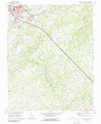
Editions of this 1970 Mount Airy South Map
2 editions found
Other maps of this area

1889 · Hillsville
USGS Topo · 1:125,000

1891 · Yadkinville
USGS Topo · 1:125,000

1892 · Hillsville
USGS Topo · 1:125,000

1893 · Yadkinville
USGS Topo · 1:125,000

1896 · Hillsville
USGS Topo · 1:125,000

1928 · Stuart
USGS Topo · 1:48,000

1931 · Stuart
USGS Topo · 1:62,500

1953 · Winston-Salem
USGS Topo · 1:250,000

1955 · Winston-Salem
USGS Topo · 1:250,000

1957 · Mount Airy
USGS Topo · 1:62,500