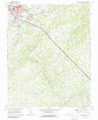
1970 Map of Mount Airy South
USGS Topo · Published 1988About this map
The Ararat River carves a winding path through the center of this landscape, anchoring a rural network of small communities and family churches south of the Virginia border. The city of Mount Airy dominates the northwest corner, showing its 1970s footprint alongside the neighboring settlements of Toast and Bannertown. Outside the urban center, the terrain is defined by the steep slopes of Chestnut Ridge and a series of creek valleys like Stewarts Creek and Toms Creek that feed into the Ararat.
Find a feature on this map
44 named features on this map. Tap any name to fly to it.
Don’t see what you’re looking for? This feature index may not catch every label — zoom into the map to look around manually.
Map Details
Editions of this 1970 Mount Airy South Map
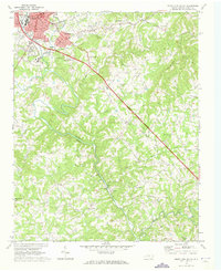
2 editions found
Other maps of this area

1889 · Hillsville
USGS Topo · 1:125,000

1891 · Yadkinville
USGS Topo · 1:125,000

1892 · Hillsville
USGS Topo · 1:125,000

1893 · Yadkinville
USGS Topo · 1:125,000

1896 · Hillsville
USGS Topo · 1:125,000

1928 · Stuart
USGS Topo · 1:48,000

1931 · Stuart
USGS Topo · 1:62,500

1953 · Winston-Salem
USGS Topo · 1:250,000

1955 · Winston-Salem
USGS Topo · 1:250,000

1957 · Mount Airy
USGS Topo · 1:62,500