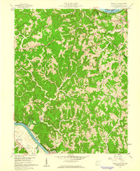
1958 Map of Mount Alto
USGS Topo · Published 1960About this map
The Kanawha River meets the Ohio River just south of this region, which in the late 1950s remained a landscape of ridgeline farms and narrow hollows. At the southern bend of the Kanawha sits Beech Hill (Southside PO), while the northern border is defined by the Baltimore and Ohio Railroad following the Ohio River bank near Mount Alto. The interior of the Mason County countryside is densely marked with the social infrastructure of a rural era, featuring numerous country schools like Bearwallow Sch and Mountain Flower Sch, and small churches such as Mt Olive Ch and Harvey Chapel. The terrain is characterized by prominent elevations like Chestnut Ridge and Thomas Ridge, which dictated the winding paths of the local road network and the placement of family cemeteries such as the Sayre Cem and Morgan Cem.
Find a feature on this map
59 named features on this map. Tap any name to fly to it.
Don’t see what you’re looking for? This feature index may not catch every label — zoom into the map to look around manually.
Map Details
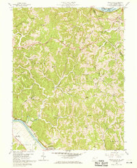
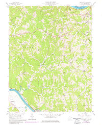
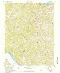
Editions of this 1958 Mount Alto Map
4 editions found
Other maps of this area

1906 · Glenwood
USGS Topo · 1:62,500

1906 · Winfield
USGS Topo · 1:62,500

1908 · Glenwood
USGS Topo · 1:62,500

1908 · Winfield
USGS Topo · 1:62,500

1908 · Ravenswood
USGS Topo · 1:62,500

1908 · Point Pleasant
USGS Topo · 1:62,500

1926 · Ravenswood
USGS Topo · 1:62,500

1926 · Point Pleasant
USGS Topo · 1:62,500

1928 · Ravenswood
USGS Topo · 1:62,500

1929 · Point Pleasant
USGS Topo · 1:62,500