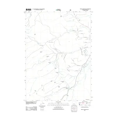
2012 Map of Mount Arter SE
USGS Topo · Published 2012About this map
Baldwin Cr winds through this Fremont County landscape, carving a valley that has long supported local education at the Baldwin Creek School. The terrain is defined by a series of dramatic geological formations and water management systems essential to the region's high-desert character. To the south, the Middle Popo Agie River passes through the geological wonders of Sinks Canyon and Sheep Canyon, where the river's path interacts with the rising slopes of Table Mountain.
Find a feature on this map
68 named features on this map. Tap any name to fly to it.
Don’t see what you’re looking for? This feature index may not catch every label — zoom into the map to look around manually.
Map Details
Editions of this 2012 Mount Arter SE Map
This is the sole edition of this map. No revisions or reprints were ever made.
Other maps of this area

1952 · Ray Lake
USGS Topo · 1:24,000

1952 · Wind River
USGS Topo · 1:24,000

1952 · Lander
USGS Topo · 1:24,000

1952 · Lander NW
USGS Topo · 1:24,000

1953 · Cony Mountain
USGS Topo · 1:24,000

1953 · Mount Arter
USGS Topo · 1:24,000

1953 · Fossil Hill
USGS Topo · 1:24,000

1953 · Mount Arter SE
USGS Topo · 1:24,000

1954 · Wolf Point
USGS Topo · 1:24,000

1955 · Lander
USGS Topo · 1:250,000