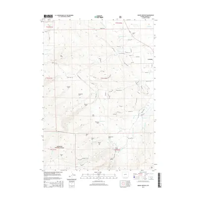
2015 Map of Mount Arter SE
USGS Topo · Published 2015About this map
Lander serves as the gateway to the high elevations of the Shoshone National Forest in this survey of the foothills. The landscape is defined by the sharp transition from the residential edges of town to the limestone cliffs and deep incisions of Sinks Canyon and Sheep Canyon. This area's hydrology is complex, with the Middle Popo Agie River and Baldwin Creek supplemented by a network of historic agricultural infrastructure, including the Big Cottonwood Ditch and the Nicol-Table Mountain Ditch. Named landmarks such as Red Butte, Mexican Joe Hill, and Table Mountain provide clear reference points for the local terrain. The map also records numerous gulches and draws like Grimmetts Gulch and Kimbal Draw, illustrating the rugged drainage patterns that have shaped the region's development and ranching history.
Find a feature on this map
81 named features on this map. Tap any name to fly to it.
Don’t see what you’re looking for? This feature index may not catch every label — zoom into the map to look around manually.
Map Details
Editions of this 2015 Mount Arter SE Map
This is the sole edition of this map. No revisions or reprints were ever made.
Other maps of this area
1952 · Ray Lake
USGS Topo · 1:24,000
1952 · Wind River
USGS Topo · 1:24,000
1952 · Lander
USGS Topo · 1:24,000
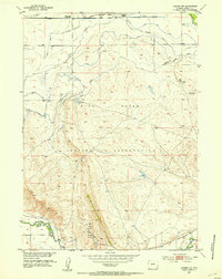
1952 · Lander NW
USGS Topo · 1:24,000
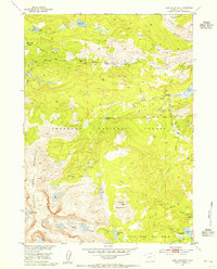
1953 · Cony Mountain
USGS Topo · 1:24,000
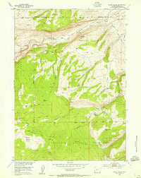
1953 · Mount Arter
USGS Topo · 1:24,000
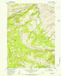
1953 · Fossil Hill
USGS Topo · 1:24,000
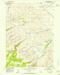
1953 · Mount Arter SE
USGS Topo · 1:24,000
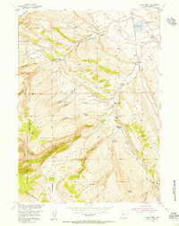
1954 · Wolf Point
USGS Topo · 1:24,000

1955 · Lander
USGS Topo · 1:250,000