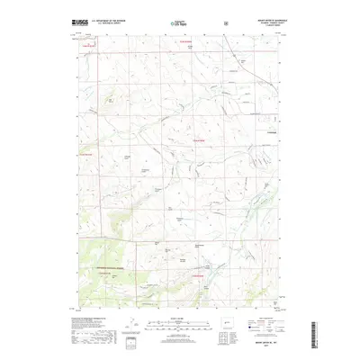
2017 Map of Mount Arter SE
USGS Topo · Published 2017About this map
Lander's rugged southwestern fringes are defined by a complex network of agricultural irrigation and deep canyon topography. Water management is a primary feature of the landscape, with historical routes like the Sinks Canyon Rd following the Middle Popo Agie River into the Shoshone National Forest. The map documents numerous irrigation systems such as the N Fork Ditch, Big Cottonwood Ditch, and Sandstone Ditch, which supported local ranching and agriculture below the high ridges of Lander Hill and Table Mtn. Genealogists and local historians can locate the Borner Garden Cem tucked into the hills southeast of the main settlement. Named landmarks like Mexican Joe Hill, Grimmetts Gulch, and Ferguson Gulch provide a window into the family names and early settlers who established the rural landscape surrounding this Fremont County hub.
Find a feature on this map
75 named features on this map. Tap any name to fly to it.
Don’t see what you’re looking for? This feature index may not catch every label — zoom into the map to look around manually.
Map Details
Editions of this 2017 Mount Arter SE Map
This is the sole edition of this map. No revisions or reprints were ever made.
Other maps of this area

1952 · Ray Lake
USGS Topo · 1:24,000

1952 · Wind River
USGS Topo · 1:24,000

1952 · Lander
USGS Topo · 1:24,000

1952 · Lander NW
USGS Topo · 1:24,000

1953 · Cony Mountain
USGS Topo · 1:24,000

1953 · Mount Arter
USGS Topo · 1:24,000

1953 · Fossil Hill
USGS Topo · 1:24,000

1953 · Mount Arter SE
USGS Topo · 1:24,000

1954 · Wolf Point
USGS Topo · 1:24,000

1955 · Lander
USGS Topo · 1:250,000