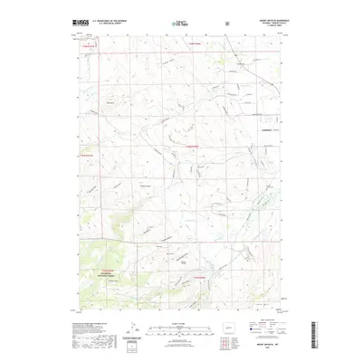
2021 Map of Mount Arter SE
USGS Topo · Published 2021About this map
Shoshone National Forest defines the southwestern reaches of this Wyoming landscape, where the high elevation of Timber Top overlooks a complex system of water management and varied terrain. The outskirts of Lander appear in the northeast, marked by residential growth along Longview Ln and Rosewood Ave. The map documents a rugged topography characterized by numerous gulches and draws, including Ferguson Gulch and Kimbal Draw, while landmarks like Red Butte and Lander Hill provide significant orientation points for the region.
Find a feature on this map
78 named features on this map. Tap any name to fly to it.
Don’t see what you’re looking for? This feature index may not catch every label — zoom into the map to look around manually.
Map Details
Editions of this 2021 Mount Arter SE Map
This is the sole edition of this map. No revisions or reprints were ever made.
Other maps of this area

1952 · Ray Lake
USGS Topo · 1:24,000

1952 · Wind River
USGS Topo · 1:24,000

1952 · Lander
USGS Topo · 1:24,000

1952 · Lander NW
USGS Topo · 1:24,000

1953 · Cony Mountain
USGS Topo · 1:24,000

1953 · Mount Arter
USGS Topo · 1:24,000

1953 · Fossil Hill
USGS Topo · 1:24,000

1953 · Mount Arter SE
USGS Topo · 1:24,000

1954 · Wolf Point
USGS Topo · 1:24,000

1955 · Lander
USGS Topo · 1:250,000