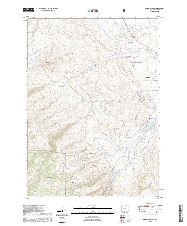
2023 Map of Mount Arter SE
USGS Topo · Published 2023About this map
The town of Lander serves as the gateway to the eastern slopes of the Wind River Range, where the high desert meets the forested foothills. This 2023 survey illustrates an intricate network of early water management, including the North Fork Ditch, Sandstone Ditch, and Paralda Ditch, which redirect water from the Middle Popo Agie River and its tributaries to support the local valley. To the southwest, the landscape rises sharply into the Shoshone National Forest, dominated by prominent landforms like Timber Top and the geological features of Sinks Canyon. Historical markers of settlement, such as the Borner Garden Cem, sit alongside numerous named gulches and hills, including Grimmetts Gulch and Mexican Joe Hill, reflecting the area's long history of ranching and exploration.
Find a feature on this map
76 named features on this map. Tap any name to fly to it.
Don’t see what you’re looking for? This feature index may not catch every label — zoom into the map to look around manually.
Map Details
Editions of this 2023 Mount Arter SE Map
This is the sole edition of this map. No revisions or reprints were ever made.
Other maps of this area

1952 · Ray Lake
USGS Topo · 1:24,000

1952 · Wind River
USGS Topo · 1:24,000

1952 · Lander
USGS Topo · 1:24,000

1952 · Lander NW
USGS Topo · 1:24,000

1953 · Cony Mountain
USGS Topo · 1:24,000

1953 · Mount Arter
USGS Topo · 1:24,000

1953 · Fossil Hill
USGS Topo · 1:24,000

1953 · Mount Arter SE
USGS Topo · 1:24,000

1954 · Wolf Point
USGS Topo · 1:24,000

1955 · Lander
USGS Topo · 1:250,000