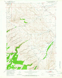
1953 Map of Mount Arter SE
USGS Topo · Published 1965About this map
The Shoshone National Forest boundary meets the edge of the Wind River Indian Reservation in this mid-century look at a landscape defined by complex water management and high-desert terrain. Agricultural and industrial infrastructure is prominent, featuring an intricate network of irrigation channels like the Standish Ditch, Squaw Ditch, and Sandstone Ditch, as well as a Hydroelectric Plant and associated Settling Pond. Educational history is preserved through the locations of the Baldwin Creek School and Borner Garden School, both noted as abandoned by the early 1950s. The terrain transitions from the elevations of Red Butte and Lander Hill down into several deep gulches, including Grimmetts Gulch and Ferguson Gulch, while the North Popo Agie River carves through the northern portion of the survey.
Find a feature on this map
49 named features on this map. Tap any name to fly to it.
Don’t see what you’re looking for? This feature index may not catch every label — zoom into the map to look around manually.
Map Details
Editions of this 1953 Mount Arter SE Map
3 editions found
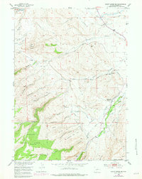
Other maps of this area

1952 · Ray Lake
USGS Topo · 1:24,000

1952 · Wind River
USGS Topo · 1:24,000

1952 · Lander
USGS Topo · 1:24,000

1952 · Lander NW
USGS Topo · 1:24,000

1953 · Cony Mountain
USGS Topo · 1:24,000

1953 · Mount Arter
USGS Topo · 1:24,000

1953 · Fossil Hill
USGS Topo · 1:24,000

1953 · Mount Arter SE
USGS Topo · 1:24,000

1954 · Wolf Point
USGS Topo · 1:24,000

1955 · Lander
USGS Topo · 1:250,000