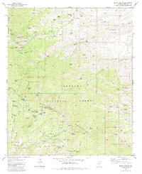
1981 Map of Mount Bigelow
USGS Topo · Published 1981About this map
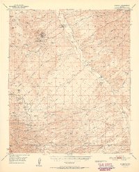
High peaks of the Santa Catalina Mountains dominate this 1981 record, featuring a landscape defined by significant elevation changes and rugged canyon systems. Mount Bigelow and Kellogg Mountain anchor the central topography, surrounded by a complex network of resource extraction and recreation sites. The northern slopes show a concentrated history of mining, specifically the Daily Mine Group, Marble Mine Group, and Leatherwood Mine Group, alongside an isolated Grave near Gibb Wash.
Find a feature on this map
108 named features on this map. Tap any name to fly to it.
Don’t see what you’re looking for? This feature index may not catch every label — zoom into the map to look around manually.
Map Details
Editions of this 1981 Mount Bigelow Map
3 editions found
Other maps of this area

1904 · Tucson
USGS Topo · 1:125,000

1905 · Tucson
USGS Topo · 1:125,000

1911 · Winkelman
USGS Topo · 1:125,000

1913 · Winkelman
USGS Topo · 1:125,000

1948 · Mammoth
USGS Topo · 1:62,500

1948 · Campo Bonito
USGS Topo · 1:24,000

1948 · Peppersauce Wash
USGS Topo · 1:24,000

1949 · Campo Bonito
USGS Topo · 1:24,000
1949 · Peppersauce Wash
USGS Topo · 1:24,000
1951 · Mammoth
USGS Topo · 1:62,500