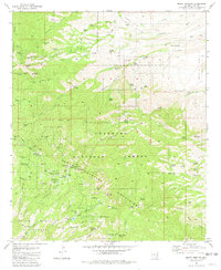
1981 Map of Mount Bigelow
USGS Topo · Published 1985About this map
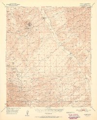
Coronado National Forest landscapes dominate this 1981 survey of the Santa Catalina Mountains, revealing a terrain shaped by high-altitude forestry, early 20th-century mining, and recreational development. The northern slopes of Stratton Ridge are marked by several historic mineral claims, including the Geesaman Mine Group, Stratton Mine, and Daily Mine Group, reflecting the area's copper and silver prospecting era. At higher elevations, the Mt Lemmon Highway provides access to a network of forest service sites and camps, from the Palisade Ranger Station to the Soldier Camp and Bear Wallow Campground. The map details specialized scientific and communication infrastructure concentrated near the peaks, featuring an Observatory, multiple Radio Towers, and a Lookout Tower on Mount Bigelow. Water sources are vital features in this arid environment, noted by a series of springs like Big Alder Spring and the man-made Rose Canyon Lake.
Find a feature on this map
105 named features on this map. Tap any name to fly to it.
Don’t see what you’re looking for? This feature index may not catch every label — zoom into the map to look around manually.
Map Details
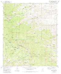
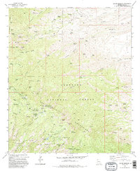
Editions of this 1981 Mount Bigelow Map
3 editions found
Other maps of this area

1904 · Tucson
USGS Topo · 1:125,000

1905 · Tucson
USGS Topo · 1:125,000

1911 · Winkelman
USGS Topo · 1:125,000

1913 · Winkelman
USGS Topo · 1:125,000

1948 · Mammoth
USGS Topo · 1:62,500

1948 · Campo Bonito
USGS Topo · 1:24,000

1948 · Peppersauce Wash
USGS Topo · 1:24,000

1949 · Campo Bonito
USGS Topo · 1:24,000
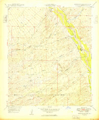
1949 · Peppersauce Wash
USGS Topo · 1:24,000
1951 · Mammoth
USGS Topo · 1:62,500