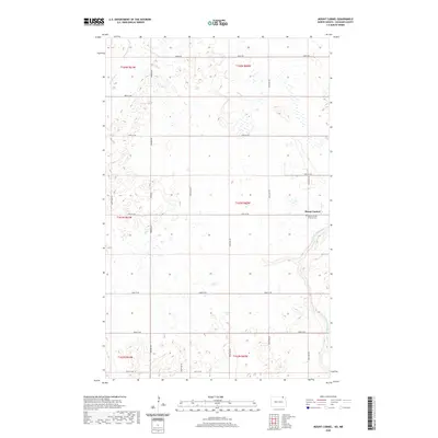
2020 Map of Mount Carmel
USGS Topo · Published 2020About this map
Mount Carmel serves as the primary focal point of this northern Cavalier County landscape, situated amidst a dense grid of rural corridors like Dresden Rd and Maida Rd. The settlement is closely associated with the Mount Carmel Catholic Cem, a site of significant value for genealogists tracing local family histories. The surrounding terrain is defined by its prairie drainage patterns, most notably the winding course of the Little S Pembina River in the southeast and the smaller Mowbray Cr in the northwest corner. The rectangular survey system is clearly visible here, with section lines and roads such as 108th St NE and 102nd Ave NE carving the land into precise agricultural blocks. This arrangement reflects the enduring legacy of the Homestead Act and the systematic parceling of the Red River Valley hinterlands for cereal grain farming.
Find a feature on this map
25 named features on this map. Tap any name to fly to it.
Don’t see what you’re looking for? This feature index may not catch every label — zoom into the map to look around manually.
Map Details
Editions of this 2020 Mount Carmel Map
This is the sole edition of this map. No revisions or reprints were ever made.
Other maps of this area

1953 · Devils Lake
USGS Topo · 1:250,000

1956 · Devils Lake
USGS Topo · 1:250,000

1967 · Langdon East
USGS Topo · 1:24,000

1967 · Maida
USGS Topo · 1:24,000

1970 · Mount Carmel
USGS Topo · 1:24,000

1970 · Wales
USGS Topo · 1:24,000

1970 · Hannah SE
USGS Topo · 1:24,000

1970 · Langdon West
USGS Topo · 1:24,000

1985 · Langdon
USGS Topo · 1:100,000
2011 · Wales
USGS Topo · 1:24,000