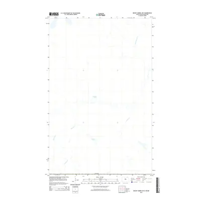
2014 Map of Mount Carmel OE N
USGS Topo · Published 2014About this map
The international border with Canada defines the northern reaches of this Cavalier County landscape, where the prairie hydrology is marked by meandering watercourses and glacial depressions. The Little Pembina River flows through the northeastern corner, while the wandering path of Mowbray Cr cuts across the southwest. In this section of North Dakota, the transition from agricultural land to the riparian zones of Dead Ox Cr and smaller water bodies like Jackson Lake and Horseshoe Pond illustrates the subtle drainage patterns characteristic of the Red River Valley hinterlands. The map provides a clear look at the sparsely settled borderlands during the early 21st century, focusing on the natural features that have dictated local land use and boundaries for generations.
Find a feature on this map
6 named features on this map. Tap any name to fly to it.
Don’t see what you’re looking for? This feature index may not catch every label — zoom into the map to look around manually.
Map Details
Editions of this 2014 Mount Carmel OE N Map
This is the sole edition of this map. No revisions or reprints were ever made.
Other maps of this area

1953 · Devils Lake
USGS Topo · 1:250,000

1956 · Devils Lake
USGS Topo · 1:250,000

1967 · Maida
USGS Topo · 1:24,000

1970 · Mount Carmel
USGS Topo · 1:24,000

1970 · Wales
USGS Topo · 1:24,000

1985 · Langdon
USGS Topo · 1:100,000
2011 · Wales
USGS Topo · 1:24,000

2011 · Mount Carmel
USGS Topo · 1:24,000
2011 · Maida
USGS Topo · 1:24,000
2014 · Mount Carmel
USGS Topo · 1:24,000