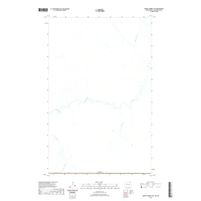
2020 Map of Mount Carmel OE N
USGS Topo · Published 2020About this map
The Pembina River meanders across this northern section of Cavalier County, defining a landscape shaped by glacial hydrology just south of the international border with Canada. This 2020 survey captures a region of the Red River Valley upland where significant drainage networks converge, including the Little Pembina River and smaller tributaries like Dead Ox Cr and Mowbray Cr. The topographic detail reveals the precise winding paths of these waterways through the prairie, showing the rural land divisions of T.164n. R.61w. as they meet the Canadian line. For researchers, the map provides a contemporary baseline of the region's hydrography and jurisdictional boundaries in a sparsely settled corner of North Dakota.
Find a feature on this map
6 named features on this map. Tap any name to fly to it.
Don’t see what you’re looking for? This feature index may not catch every label — zoom into the map to look around manually.
Map Details
Editions of this 2020 Mount Carmel OE N Map
This is the sole edition of this map. No revisions or reprints were ever made.
Other maps of this area

1953 · Devils Lake
USGS Topo · 1:250,000

1956 · Devils Lake
USGS Topo · 1:250,000

1967 · Maida
USGS Topo · 1:24,000

1970 · Mount Carmel
USGS Topo · 1:24,000

1970 · Wales
USGS Topo · 1:24,000

1985 · Langdon
USGS Topo · 1:100,000
2011 · Wales
USGS Topo · 1:24,000

2011 · Mount Carmel
USGS Topo · 1:24,000
2011 · Maida
USGS Topo · 1:24,000
2014 · Mount Carmel
USGS Topo · 1:24,000