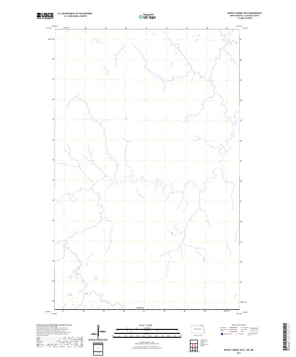
2024 Map of Mount Carmel OE N
USGS Topo · Published 2024About this map
The international boundary with Canada defines the southern edge of this map, marking the northernmost reaches of Cavalier County. This 2024 survey documents a landscape of intricate hydrological patterns, where small streams and drainages branch across the terrain north of the community of Mount Carmel. While the map is sparse regarding built infrastructure or named settlements, the dense network of wetlands and watercourses illustrates the natural drainage of this borderland region just before it enters Manitoba. The sheet serves as a clear record of the physical topography and water resources along the 49th parallel in contemporary North Dakota.
Find a feature on this map
1 named feature on this map. Tap any name to fly to it.
Don’t see what you’re looking for? This feature index may not catch every label — zoom into the map to look around manually.
Map Details
Editions of this 2024 Mount Carmel OE N Map
This is the sole edition of this map. No revisions or reprints were ever made.
Other maps of this area

1953 · Devils Lake
USGS Topo · 1:250,000

1956 · Devils Lake
USGS Topo · 1:250,000

1967 · Maida
USGS Topo · 1:24,000

1970 · Mount Carmel
USGS Topo · 1:24,000

1970 · Wales
USGS Topo · 1:24,000

1985 · Langdon
USGS Topo · 1:100,000
2011 · Wales
USGS Topo · 1:24,000

2011 · Mount Carmel
USGS Topo · 1:24,000
2011 · Maida
USGS Topo · 1:24,000
2014 · Mount Carmel
USGS Topo · 1:24,000