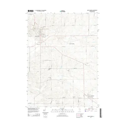
2015 Map of Mount Carroll
USGS Topo · Published 2015About this map
Mount Carroll serves as the prominent seat of local activity on this 2015 survey, where the street grid expands east from S Main St and S Clay St. The surrounding countryside is defined by a network of rural routes like Argo Fay Route and Cyclone Ridge Rd, connecting the main settlement with Chadwick to the southeast and the rail-related locale of Ashdale Junction. This landscape is particularly dense with sites of genealogical interest, including several church-affiliated burial grounds such as Trinity Evangelical Lutheran Cem and Black Oak Lutheran Cem. The terrain is carved by numerous waterways, most notably Carroll Cr and Johnson Cr, which wind through the township. Unique landmarks such as Tautz Airport and Timber Lake stand out amidst the agricultural surroundings, while family-named roads like Daggert Rd and Fritz Rd reflect the long-standing land ownership patterns of the region.
Find a feature on this map
65 named features on this map. Tap any name to fly to it.
Don’t see what you’re looking for? This feature index may not catch every label — zoom into the map to look around manually.
Map Details
Editions of this 2015 Mount Carroll Map
This is the sole edition of this map. No revisions or reprints were ever made.
Other maps of this area

1891 · Clinton
USGS Topo · 1:62,500

1892 · Savanna
USGS Topo · 1:62,500

1894 · Clinton
USGS Topo · 1:62,500

1899 · Clinton
USGS Topo · 1:125,000

1934 · Morrison
USGS Topo · 1:48,000

1940 · Morrison
USGS Topo · 1:62,500

1942 · Mt Carroll
USGS Topo · 1:62,500

1944 · Mt Carroll
USGS Topo · 1:62,500

1952 · Clinton
USGS Topo · 1:62,500

1952 · Savanna
USGS Topo · 1:62,500