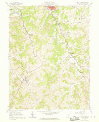
1961 Map of Mount Clare
USGS Topo · Published 1970About this map
The Baltimore and Ohio railroad corridor serves as the industrial spine of this Harrison County landscape, winding through a territory defined by extensive extractive activity. Numerous strip mines pocket the hillsides above the West Fork River and along the valleys of Elk Creek and Gnatty Creek. The coexistence of heavy industry and established community is evident in the dense network of small settlements and religious sites, such as Mount Clare (Byron Station) and the rural crossroads of Quiet Dell.
Find a feature on this map
58 named features on this map. Tap any name to fly to it.
Don’t see what you’re looking for? This feature index may not catch every label — zoom into the map to look around manually.
Map Details
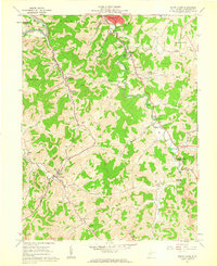
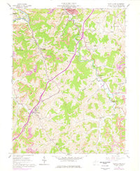
Editions of this 1961 Mount Clare Map
3 editions found
Other maps of this area

1902 · Clarksburg
USGS Topo · 1:62,500

1902 · Fairmont
USGS Topo · 1:62,500

1904 · Philippi
USGS Topo · 1:62,500

1904 · Weston
USGS Topo · 1:62,500

1910 · Clarksburg
USGS Topo · 1:62,500

1923 · Fairmont
USGS Topo · 1:62,500

1923 · Clarksburg
USGS Topo · 1:62,500

1925 · Clarksburg
USGS Topo · 1:62,500

1925 · Philippi
USGS Topo · 1:62,500

1926 · Fairmont
USGS Topo · 1:62,500