
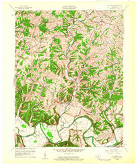
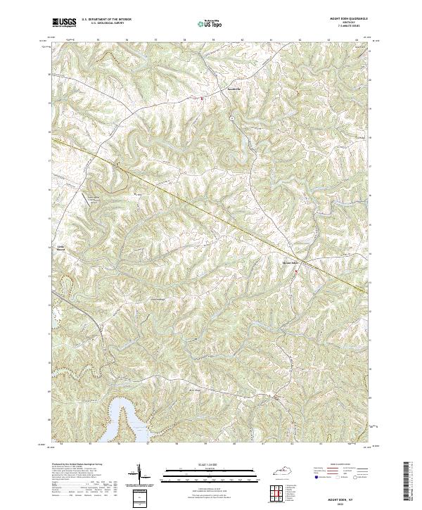
1954 Map of Mount Eden
USGS Topo · Published 1973About this map
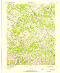
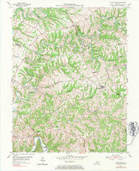
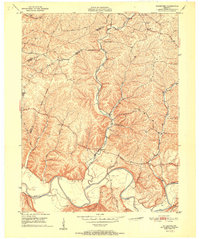
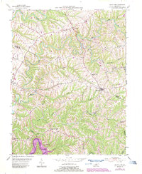
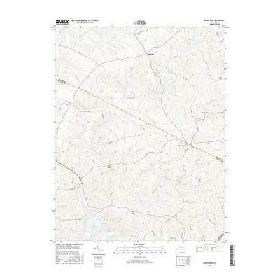
Mount Eden stands as the central hub of this mid-century landscape on the border of Shelby and Spencer Counties. The terrain is characterized by a dense network of watercourses, most notably the Salt River winding through the southern reaches and the serpentine path of Beech Creek cutting across the central hills. The rural community structure of the 1950s is clearly visible, with small local institutions such as Salem Ch and Walker Sch serving the surrounding farmsteads.
Find a feature on this map
25 named features on this map. Tap any name to fly to it.
Don’t see what you’re looking for? This feature index may not catch every label — zoom into the map to look around manually.
Map Details
Editions of this 1954 Mount Eden Map
4 editions found
Historical Maps of Mount Eden Through Time
14 maps found
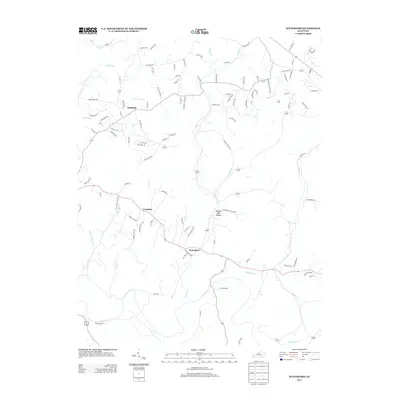
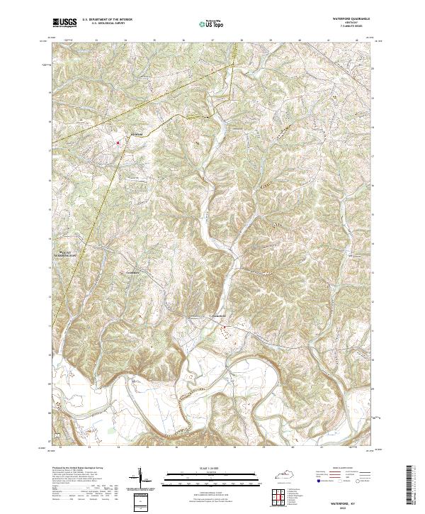
1951 Waterford
Spencer County, KY
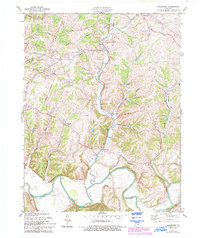
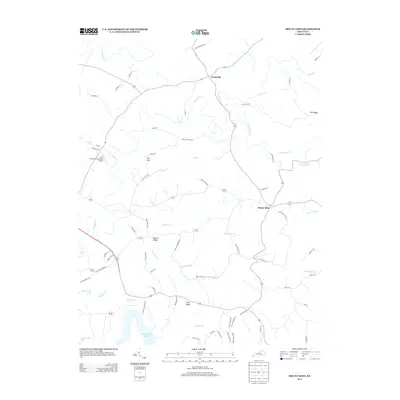
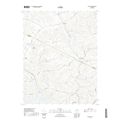
1954 Mount Eden
Spencer County, KY
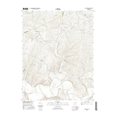
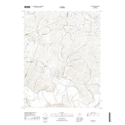
1960 Waterford
Spencer County, KY
1981 Waterford
Spencer County, KY
2010 Mount Eden
Spencer County, KY
2010 Waterford
Spencer County, KY
2013 Mount Eden
Spencer County, KY
2013 Waterford
Spencer County, KY
2016 Mount Eden
Spencer County, KY
2016 Waterford
Spencer County, KY
2019 Mount Eden
Spencer County, KY
2019 Waterford
Spencer County, KY
2022 Mount Eden
Spencer County, KY
2022 Waterford
Spencer County, KY