Loading...
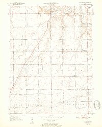
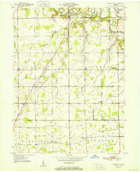
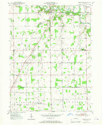
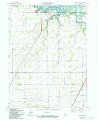
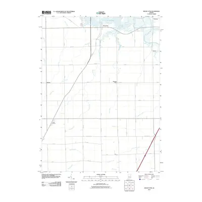
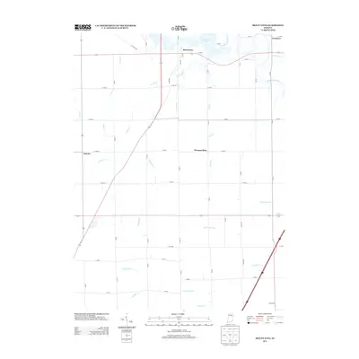
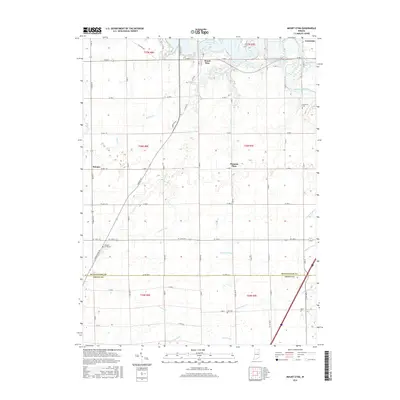
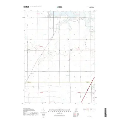
Loading map...1951 Map of Mount Etna
USGS Topo · Published 1951About this map
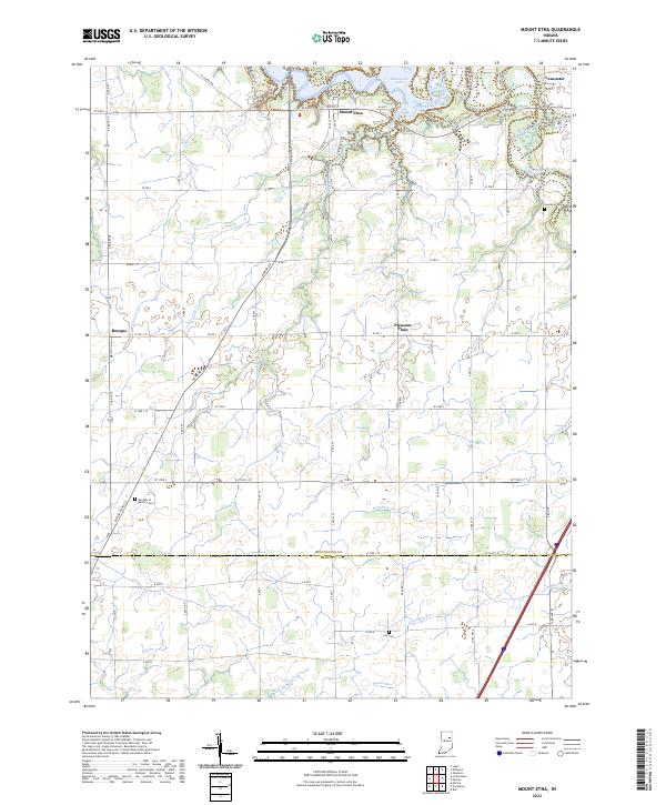
Mount Etna sits at a critical bend of the Salamonie River, serving as a central point in this rural landscape before mid-century hydraulic changes altered the region's river valleys. The 1951 geography is defined by a dense network of small communities and social centers, including the Star Commonwealth For Boys north of the river and several rural congregations like Salem Ch and Union Chapel. The transition from old township-based education to more centralized facilities is evident at the Jefferson Twp Consolidated Sch.
Find a feature on this map
29 named features on this map. Tap any name to fly to it.
Don’t see what you’re looking for? This feature index may not catch every label — zoom into the map to look around manually.
Map Details
Date Portrayed1951
Date Published1951
PublisherU.S. Geological Survey
Map TypeTopographic
Scale1:24,000
Physical Dimensions21.59 x 26.81 inches
Editions of this 1951 Mount Etna Map
2 editions found
Historical Maps of Lancaster Through Time
8 maps found
Featured Locations
Source Details
SourceU.S. Geological Survey
CopyrightPublic Domain