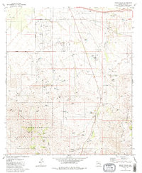
1981 Map of Mount Fagan
USGS Topo · Published 1988About this map
The Coronado National Forest dominates the southern reaches of this landscape, where the rugged peaks of the Santa Rita Mountains rise toward Mount Fagan. This terrain is deeply marked by early 20th-century extraction, with numerous workings like the Cuprite Mine, Dimple Mine, and Pauline Mine scattered among the ridges. Water management is a central theme of this arid region, evidenced by an extensive network of specialized catchments including Blacktail Tank, Beach Tank, and Twin Tanks, alongside natural water sources like California Mine Spring and Ojo Blanco Spring.
Find a feature on this map
41 named features on this map. Tap any name to fly to it.
Don’t see what you’re looking for? This feature index may not catch every label — zoom into the map to look around manually.
Map Details
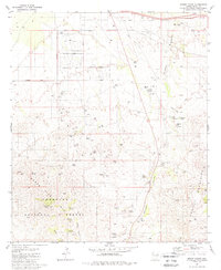
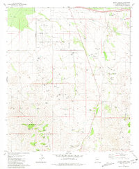
Editions of this 1981 Mount Fagan Map
3 editions found
Other maps of this area

1904 · Patagonia
USGS Topo · 1:125,000

1904 · Tucson
USGS Topo · 1:125,000

1905 · Patagonia
USGS Topo · 1:125,000

1905 · Tucson
USGS Topo · 1:125,000

1926 · Helvetia
USGS Topo · 1:62,500

1948 · Tucson
USGS Topo · 1:62,500

1956 · Nogales
USGS Topo · 1:250,000

1956 · Tucson
USGS Topo · 1:250,000

1957 · Tucson
USGS Topo · 1:62,500

1957 · Rincon Valley
USGS Topo · 1:62,500