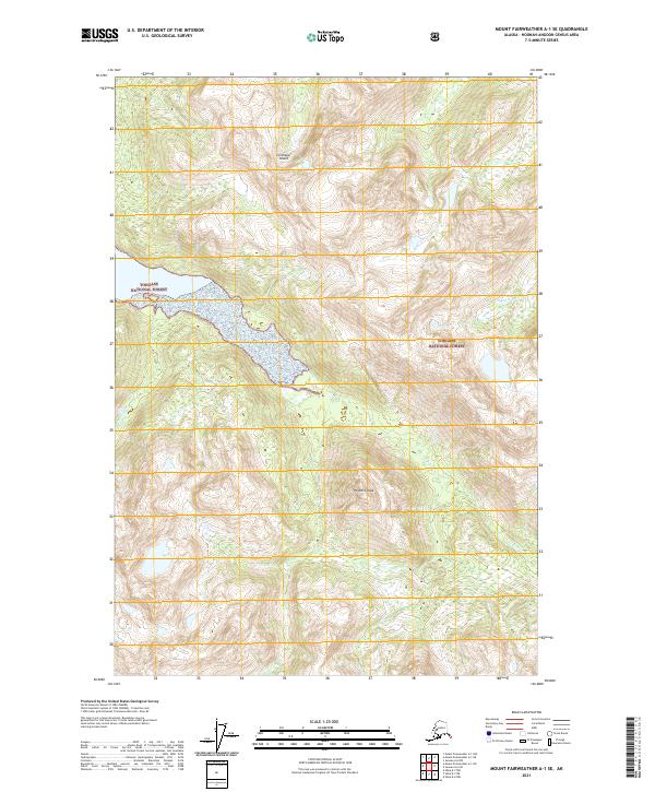
2021 Map of Mount Fairweather A-1 SE
USGS Topo · Published 2021About this map
Chichagof Island terrain dominates this 2021 survey, centered on the high coastal elevations of the Tongass National Forest. The landscape is defined by its dramatic relief and glacial drainage patterns, where Pyramid Peak stands as a prominent topographical anchor. Water systems are central to the geography here, with the Mud Bay River and Trail River cutting through the dense forest towards the coast, while the smaller Marble Creek drains the western slopes. This map serves as a primary record of the northern Southeast Alaska wilderness before any modern road development or settlement, documenting the natural state of these protected federal lands. Researchers will find the land survey system grids for T43S through T45S, providing a technical framework for this expansive stretch of island forest and peak.
Find a feature on this map
12 named features on this map. Tap any name to fly to it.
Don’t see what you’re looking for? This feature index may not catch every label — zoom into the map to look around manually.
Map Details
Editions of this 2021 Mount Fairweather A-1 SE Map
This is the sole edition of this map. No revisions or reprints were ever made.
Other maps of this area

1948 · Sitka D-6
USGS Topo · 1:63,360

1948 · Mount Fairweather A-1
USGS Topo · 1:63,360

1951 · Juneau
USGS Topo · 1:250,000

1951 · Juneau A-6
USGS Topo · 1:63,360

1951 · Sitka D-7
USGS Topo · 1:63,360

1951 · Mt Fairweather
USGS Topo · 1:250,000

1951 · Sitka
USGS Topo · 1:250,000

1951 · Sitka D-6
USGS Topo · 1:63,360

1952 · Sitka
USGS Topo · 1:250,000

1954 · Mount Fairweather A-1
USGS Topo · 1:63,360