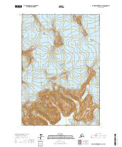
2017 Map of Mount Fairweather C-3 SW
USGS Topo · Published 2017About this map
Glacier Bay National Park dominates this terrain, situated in the Hoonah-Angoon Census Area of Alaska. The landscape is defined by the massive presence of the Brady Glacier, which occupies a significant portion of the central and eastern portions of the quadrangle. As captured in this 2017 study, the area represents a wilderness environment where glacial ice and high-elevation topography are the primary features. The map illustrates the complex drainage and ice-flow patterns within the national park, revealing a remote coastal mountain environment devoid of permanent human settlements or roads. The absence of infrastructure highlights the primitive state of the region within the southern panhandle of Alaska.
Find a feature on this map
8 named features on this map. Tap any name to fly to it.
Don’t see what you’re looking for? This feature index may not catch every label — zoom into the map to look around manually.
Map Details
Editions of this 2017 Mount Fairweather C-3 SW Map
This is the sole edition of this map. No revisions or reprints were ever made.
Other maps of this area

1951 · Mt Fairweather
USGS Topo · 1:250,000
1961 · Mount Fairweather B-3
USGS Topo · 1:63,360

1961 · Mount Fairweather C-4
USGS Topo · 1:63,360

1961 · Mount Fairweather C-3
USGS Topo · 1:63,360
1961 · Mt Fairweather B-4
USGS Topo · 1:63,360

1961 · Mt Fairweather
USGS Topo · 1:250,000
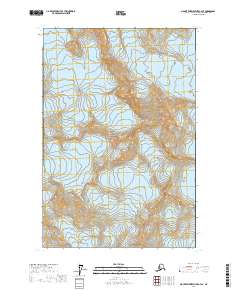
2017 · Mount Fairweather C-4 SE
USGS Topo · 1:25,000
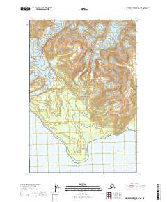
2017 · Mount Fairweather B-4 NE
USGS Topo · 1:25,000
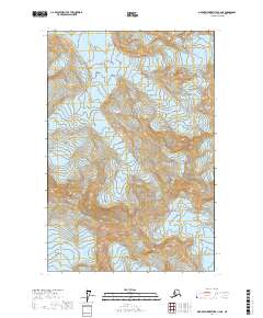
2017 · Mount Fairweather C-4 NE
USGS Topo · 1:25,000
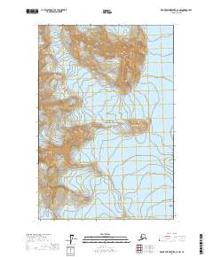
2017 · Mount Fairweather C-3 NW
USGS Topo · 1:25,000