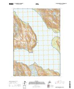
2017 Map of Mount Fairweather D-3 NW
USGS Topo · Published 2017About this map
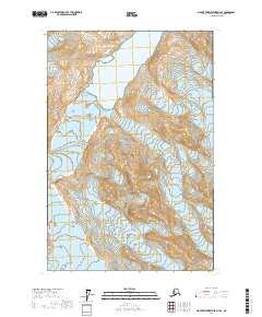
Glacier Bay National Park serves as the focal point for this 2017 survey, documenting a dynamic glacial landscape in the Hoonah-Angoon Census Area. The map captures the meeting of land and sea where the Lamplugh Glacier descends toward the water, just south of the distinct maritime landmark known as Confusion Point. This coastal geometry is defined by deep fjords, including the northern reach of Glacier Bay itself and the branching waters of Johns Hopkins Inlet and Tarr Inlet. Unlike many interior maps, the terrain here is defined by shifting ice and tidal influence rather than permanent human settlement. A small drainage, Ptarmigan Creek, is visible in the southeastern portion, illustrating the intricate hydrography that emerges as the ice sheets recede from the coastal mountains.
Find a feature on this map
11 named features on this map. Tap any name to fly to it.
Don’t see what you’re looking for? This feature index may not catch every label — zoom into the map to look around manually.
Map Details
Editions of this 2017 Mount Fairweather D-3 NW Map
This is the sole edition of this map. No revisions or reprints were ever made.
Other maps of this area

1951 · Mt Fairweather
USGS Topo · 1:250,000

1952 · Skagway
USGS Topo · 1:250,000

1961 · Mount Fairweather D-4
USGS Topo · 1:63,360
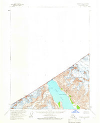
1961 · Skagway A-6
USGS Topo · 1:63,360
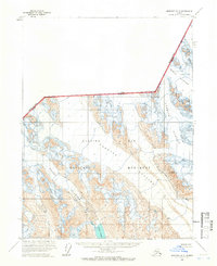
1961 · Skagway A-5
USGS Topo · 1:63,360

1961 · Mount Fairweather D-3
USGS Topo · 1:63,360

1961 · Mt Fairweather
USGS Topo · 1:250,000

1961 · Skagway
USGS Topo · 1:250,000
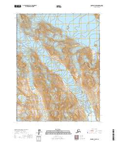
2017 · Skagway A-5 SW
USGS Topo · 1:25,000
2017 · Mount Fairweather D-4 SE
USGS Topo · 1:25,000