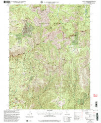
2000 Map of Mount Fillmore
USGS Topo · Published 2003About this map
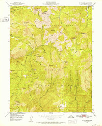
The high Sierra crest at the intersection of the Plumas National Forest and Tahoe National Forest reveals a landscape heavily shaped by nineteenth-century mining interests. This turn-of-the-millennium revision traces the high-elevation settlements and mining camps that define the region's history, from Poker Flat and Skyhigh to the remote Sawmill site. The terrain is marked by significant hydraulic and hard-rock operations, including the Deadwood Diggings, Eureka Diggings, and Cowell Mine.
Find a feature on this map
41 named features on this map. Tap any name to fly to it.
Don’t see what you’re looking for? This feature index may not catch every label — zoom into the map to look around manually.
Map Details
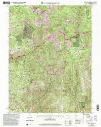
Editions of this 2000 Mount Fillmore Map
2 editions found
Other maps of this area

1891 · Downieville
USGS Topo · 1:125,000

1893 · Downieville
USGS Topo · 1:125,000

1895 · Downieville
USGS Topo · 1:125,000

1896 · Downieville
USGS Topo · 1:125,000

1897 · Downieville
USGS Topo · 1:125,000

1937 · Blairsden
USGS Topo · 1:48,000

1943 · Blairsden
USGS Topo · 1:62,500
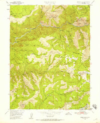
1950 · Onion Valley
USGS Topo · 1:24,000
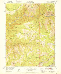
1951 · Onion Valley
USGS Topo · 1:24,000
1951 · Mt. Fillmore
USGS Topo · 1:24,000