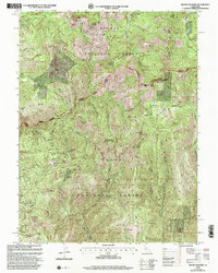
2000 Map of Mount Fillmore
USGS Topo · Published 2003About this map
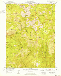
Plumas National Forest and Tahoe National Forest meet in this high-elevation terrain, where historical mining and difficult geography define the landscape. The map centers on significant peaks such as Mount Fillmore and Deadwood Peak, marking a rugged divide between the Downie River and Nelson Creek watersheds. This 2000 revision, based on earlier topography and 1990s imagery, documents a legacy of gold extraction, with numerous sites such as the California Mine, Diamond Mine, and Cowell Mine dotting the ridges and ravines. Early mountain routes like the La Porte Downieville road snake through the contours, connecting small high-country points like Skyhigh and the historic Poker Flat. The concentration of named mines and remote summits like Chimney Rock and Needle Point highlights the area's importance to California's geological and prospecting history during the late 20th century.
Find a feature on this map
49 named features on this map. Tap any name to fly to it.
Don’t see what you’re looking for? This feature index may not catch every label — zoom into the map to look around manually.
Map Details
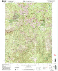
Editions of this 2000 Mount Fillmore Map
2 editions found
Other maps of this area

1891 · Downieville
USGS Topo · 1:125,000

1893 · Downieville
USGS Topo · 1:125,000

1895 · Downieville
USGS Topo · 1:125,000

1896 · Downieville
USGS Topo · 1:125,000

1897 · Downieville
USGS Topo · 1:125,000

1937 · Blairsden
USGS Topo · 1:48,000

1943 · Blairsden
USGS Topo · 1:62,500
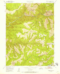
1950 · Onion Valley
USGS Topo · 1:24,000
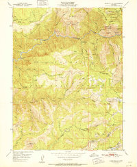
1951 · Onion Valley
USGS Topo · 1:24,000
1951 · Mt. Fillmore
USGS Topo · 1:24,000