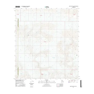
2016 Map of Mount Hayes B-5 NW
USGS Topo · Published 2016About this map
Meteor Peak stands as a prominent high point in this 2016 survey, which documents the glaciated landscape where the Matanuska-Susitna Borough meets the Southeast Fairbanks Census Area. The map captures a significant concentration of ice flow within the Alaska Range, specifically detailing the terminal or mid-flow sections of the Black Rapids Glacier, Maclaren Glacier, and Eureka Glacier. The contour lines illustrate the massive scale of these glacial systems and the sharp elevation changes between the mountain summits and the valley floors. This modern topodata provides a clear picture of the drainage patterns and ice field extents in a portion of the state where human infrastructure is largely absent, focusing instead on the dynamic physical geography of the high north.
Find a feature on this map
6 named features on this map. Tap any name to fly to it.
Don’t see what you’re looking for? This feature index may not catch every label — zoom into the map to look around manually.
Map Details
Editions of this 2016 Mount Hayes B-5 NW Map
This is the sole edition of this map. No revisions or reprints were ever made.
Other maps of this area

1950 · Mount Hayes
USGS Topo · 1:250,000

1951 · Mount Hayes
USGS Topo · 1:250,000

1951 · Mount Hayes B-6
USGS Topo · 1:63,360

1951 · Mount Hayes C-5
USGS Topo · 1:63,360

1951 · Mt. Hayes B-5
USGS Topo · 1:63,360

1951 · Mount Hayes C-6
USGS Topo · 1:63,360

1955 · Mount Hayes
USGS Topo · 1:250,000
2016 · Mount Hayes B-6 SE
USGS Topo · 1:25,000
2016 · Mount Hayes C-5 SW
USGS Topo · 1:25,000
2016 · Mount Hayes B-5 SE
USGS Topo · 1:25,000