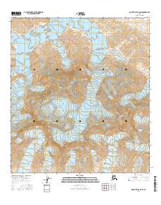
2016 Map of Mount Hayes C-5 SW
USGS Topo · Published 2016About this map
The high alpine peaks of the Alaska Range dominate this interior Alaskan survey, where glacial movement and geological forces define the landscape. Massive ice fields including the Trident Glacier and the northern reaches of the Black Rapids Glacier fill the deep valleys between some of the region's most prominent summits. Elevated peaks such as Mt Moffit, Mt Shand, and McGinnis Peak provide the primary landmarks in a region devoid of permanent human settlements or infrastructure. The map illustrates the complex drainage patterns created by the McGinnis Glacier and its neighboring ice flows, offering a detailed view of the perpetual snowfields and sharp ridgelines that characterize this portion of the Southeast Fairbanks Census Area. The lack of roads or established trails underscores the wilderness character of these high-altitude townships during the early twenty-first century.
Find a feature on this map
13 named features on this map. Tap any name to fly to it.
Don’t see what you’re looking for? This feature index may not catch every label — zoom into the map to look around manually.
Map Details
Editions of this 2016 Mount Hayes C-5 SW Map
This is the sole edition of this map. No revisions or reprints were ever made.
Other maps of this area

1950 · Mount Hayes
USGS Topo · 1:250,000

1951 · Mount Hayes
USGS Topo · 1:250,000

1951 · Mount Hayes B-6
USGS Topo · 1:63,360

1951 · Mount Hayes C-5
USGS Topo · 1:63,360

1951 · Mt. Hayes B-5
USGS Topo · 1:63,360

1951 · Mount Hayes C-6
USGS Topo · 1:63,360

1955 · Mount Hayes
USGS Topo · 1:250,000
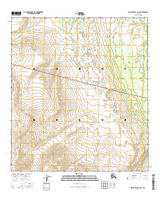
2016 · Mount Hayes C-5 NE
USGS Topo · 1:25,000
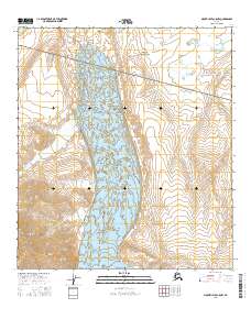
2016 · Mount Hayes C-5 NW
USGS Topo · 1:25,000
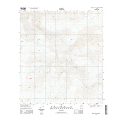
2016 · Mount Hayes C-6 SE
USGS Topo · 1:25,000