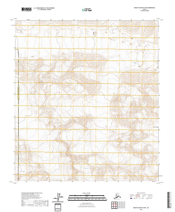
2024 Map of Mount Hayes B-5 NW
USGS Topo · Published 2024About this map
Glacial ice and high-altitude peaks dominate this remote section of the eastern Alaska Range within the Matanuska-Susitna Borough and Southeast Fairbanks Census Area. The landscape is a study in active alpine glaciation, where the Black Rapids Glacier flows through the northeastern reaches while the Eureka Glacier and Maclaren Glacier carve into the southern terrain. Central to the topography is Meteor Peak, a prominent landmark that rises amidst a network of ice-carved ridges and deep valleys. The absence of roads or permanent human settlements on the map underscores the wilderness character of the region, where surveying lines from the Public Land Survey System provide the only structural grid over this shifting, ice-heavy environment.
Find a feature on this map
15 named features on this map. Tap any name to fly to it.
Don’t see what you’re looking for? This feature index may not catch every label — zoom into the map to look around manually.
Map Details
Editions of this 2024 Mount Hayes B-5 NW Map
This is the sole edition of this map. No revisions or reprints were ever made.
Other maps of this area

1950 · Mount Hayes
USGS Topo · 1:250,000

1951 · Mount Hayes
USGS Topo · 1:250,000

1951 · Mount Hayes B-6
USGS Topo · 1:63,360

1951 · Mount Hayes C-5
USGS Topo · 1:63,360

1951 · Mt. Hayes B-5
USGS Topo · 1:63,360

1951 · Mount Hayes C-6
USGS Topo · 1:63,360

1955 · Mount Hayes
USGS Topo · 1:250,000
2016 · Mount Hayes B-6 SE
USGS Topo · 1:25,000
2016 · Mount Hayes C-5 SW
USGS Topo · 1:25,000
2016 · Mount Hayes B-5 SE
USGS Topo · 1:25,000