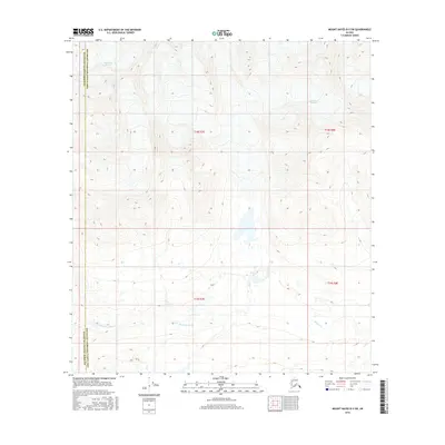
2016 Map of Mount Hayes B-5 SW
USGS Topo · Published 2016About this map
Glacial movement and high-altitude drainage systems define this section of the Matanuska-Susitna Borough Southeast Fairbanks Census Area border. The icy expanse of the Maclaren Glacier dominates the northwestern corner, feeding the E Fork Maclaren River as it flows south through the valley. To the east, the Eureka Glacier provides the source for Eureka Creek, illustrating the raw hydrological patterns of the Alaska Range. The map serves as a precise record of these shifting ice masses and watercourses within the jurisdictional boundaries of Townships 18 and 19 South, documenting the environmental state of the region in the early 21st century.
Find a feature on this map
9 named features on this map. Tap any name to fly to it.
Don’t see what you’re looking for? This feature index may not catch every label — zoom into the map to look around manually.
Map Details
Editions of this 2016 Mount Hayes B-5 SW Map
This is the sole edition of this map. No revisions or reprints were ever made.
Other maps of this area

1949 · Mount Hayes A-5
USGS Topo · 1:63,360

1950 · Mount Hayes
USGS Topo · 1:250,000

1950 · Mount Hayes A-6
USGS Topo · 1:63,360

1951 · Mount Hayes
USGS Topo · 1:250,000

1951 · Mount Hayes B-6
USGS Topo · 1:63,360

1951 · Mt. Hayes B-5
USGS Topo · 1:63,360

1952 · Mount Hayes A-6
USGS Topo · 1:63,360
1952 · Mount Hayes A-5
USGS Topo · 1:63,360

1955 · Mount Hayes
USGS Topo · 1:250,000
2016 · Mount Hayes A-5 NE
USGS Topo · 1:25,000