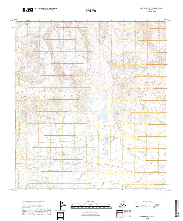
2024 Map of Mount Hayes B-5 SW
USGS Topo · Published 2024About this map
Glacial action and high-altitude drainage systems characterize this wilderness boundary between the Matanuska-Susitna Borough and Southeast Fairbanks Census Area. The landscape is dominated by two primary ice masses, the Maclaren Glacier in the northwest and the Eureka Glacier in the northeast, which serve as the headwaters for the region's complex hydrological network. From these heights, the East Fork Maclaren River and Eureka Creek carve through the terrain, illustrating the dramatic seasonal runoff patterns typical of the Alaska Range. This 2024 survey documents the contemporary extent of these glacial features, providing a precise record of the ice margins and braided river channels that shift within the township blocks of t18s r7e and t19s r7e.
Find a feature on this map
11 named features on this map. Tap any name to fly to it.
Don’t see what you’re looking for? This feature index may not catch every label — zoom into the map to look around manually.
Map Details
Editions of this 2024 Mount Hayes B-5 SW Map
This is the sole edition of this map. No revisions or reprints were ever made.
Other maps of this area

1949 · Mount Hayes A-5
USGS Topo · 1:63,360

1950 · Mount Hayes
USGS Topo · 1:250,000

1950 · Mount Hayes A-6
USGS Topo · 1:63,360

1951 · Mount Hayes
USGS Topo · 1:250,000

1951 · Mount Hayes B-6
USGS Topo · 1:63,360

1951 · Mt. Hayes B-5
USGS Topo · 1:63,360

1952 · Mount Hayes A-6
USGS Topo · 1:63,360
1952 · Mount Hayes A-5
USGS Topo · 1:63,360

1955 · Mount Hayes
USGS Topo · 1:250,000
2016 · Mount Hayes A-5 NE
USGS Topo · 1:25,000