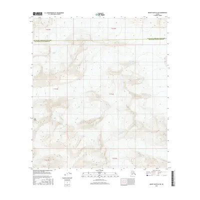
2016 Map of Mount Hayes B-6 NE
USGS Topo · Published 2016About this map
High peaks of the Alaska Range dominate this interior landscape, which captures a high-elevation glacial environment where three massive ice fields converge. The Susitna Glacier flows from the northwest, while the Black Rapids Glacier and Maclaren Glacier carve through the deep valleys of the central and southern portions of the quadrangle. The map documents the boundary between the Southeast Fairbanks Census Area Matanuska-Susitna Borough, illustrating how these administrative lines cut across some of the most formidable terrain in the subarctic. Surveyed in the early twenty-first century, this record shows the complex topography of the range before the influence of shifting modern climate patterns further altered these ice masses and their runoff channels.
Find a feature on this map
11 named features on this map. Tap any name to fly to it.
Don’t see what you’re looking for? This feature index may not catch every label — zoom into the map to look around manually.
Map Details
Editions of this 2016 Mount Hayes B-6 NE Map
This is the sole edition of this map. No revisions or reprints were ever made.
Other maps of this area

1950 · Mount Hayes
USGS Topo · 1:250,000

1951 · Mount Hayes
USGS Topo · 1:250,000

1951 · Mount Hayes B-6
USGS Topo · 1:63,360

1951 · Mount Hayes C-5
USGS Topo · 1:63,360

1951 · Mt. Hayes B-5
USGS Topo · 1:63,360

1951 · Mount Hayes C-6
USGS Topo · 1:63,360

1955 · Mount Hayes
USGS Topo · 1:250,000
2016 · Mount Hayes B-6 NW
USGS Topo · 1:25,000
2016 · Mount Hayes B-6 SE
USGS Topo · 1:25,000
2016 · Mount Hayes C-5 SW
USGS Topo · 1:25,000