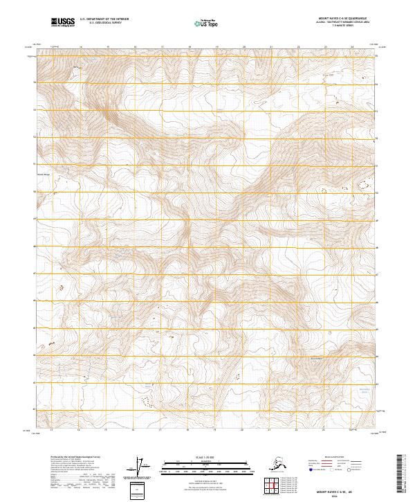
2024 Map of Mount Hayes C-6 SE
USGS Topo · Published 2024About this map
Mt Hayes and the high summits of the Alaska Range dominate this topographic study, where ice and elevation define the landscape. Massive river-like ice formations, including the Hayes Glacier and Trident Glacier, fill the deep valleys between sharp peaks like Aurora Peak. The mapping records the intricate contouring of the high-altitude glacial systems, showing the reach of the Susitna Glacier and the Black Rapids Glacier at this specific moment. This survey provides a baseline of the high-mountain terrain within the Southeast Fairbanks area, documenting the interplay between permanent ice fields and the rock faces that guide their flow. It is a vital record for understanding the state of these glaciers in the early twenty-first century.
Find a feature on this map
11 named features on this map. Tap any name to fly to it.
Don’t see what you’re looking for? This feature index may not catch every label — zoom into the map to look around manually.
Map Details
Editions of this 2024 Mount Hayes C-6 SE Map
This is the sole edition of this map. No revisions or reprints were ever made.
Other maps of this area

1950 · Mount Hayes
USGS Topo · 1:250,000

1951 · Mount Hayes
USGS Topo · 1:250,000

1951 · Mount Hayes B-6
USGS Topo · 1:63,360

1951 · Mount Hayes C-5
USGS Topo · 1:63,360

1951 · Mt. Hayes B-5
USGS Topo · 1:63,360

1951 · Mount Hayes C-6
USGS Topo · 1:63,360

1955 · Mount Hayes
USGS Topo · 1:250,000
2016 · Mount Hayes B-6 NW
USGS Topo · 1:25,000
2016 · Mount Hayes C-5 NW
USGS Topo · 1:25,000
2016 · Mount Hayes C-6 NW
USGS Topo · 1:25,000