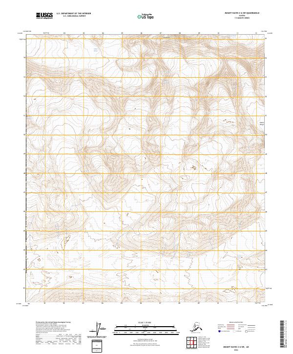
2024 Map of Mount Hayes C-6 SW
USGS Topo · Published 2024About this map
Mt Balchen rises as a prominent landmark within this high-elevation corridor of the Alaska Range, where massive ice flows define the physical geography. The map documents the convergence of several major ice systems, including Gillam Glacier and Hayes Glacier in the north, along with the West Fork Glacier and Susitna Glacier further south. This 2024 survey captures the modern extent of these glacial features, providing essential data for researchers monitoring the shifting landscape of the Matanuska-Susitna region. The lack of road infrastructure or human settlements on the map underscores the isolation and scale of these frozen river systems as they carve through the peaks.
Find a feature on this map
10 named features on this map. Tap any name to fly to it.
Don’t see what you’re looking for? This feature index may not catch every label — zoom into the map to look around manually.
Map Details
Editions of this 2024 Mount Hayes C-6 SW Map
This is the sole edition of this map. No revisions or reprints were ever made.
Other maps of this area

1950 · Mount Hayes
USGS Topo · 1:250,000

1950 · Healy B-1
USGS Topo · 1:63,360

1951 · Healy
USGS Topo · 1:250,000

1951 · Mount Hayes
USGS Topo · 1:250,000

1951 · Mount Hayes B-6
USGS Topo · 1:63,360

1951 · Healy C-1
USGS Topo · 1:63,360

1951 · Mount Hayes C-6
USGS Topo · 1:63,360

1952 · Healy B-1
USGS Topo · 1:63,360

1955 · Mount Hayes
USGS Topo · 1:250,000

1956 · Healy
USGS Topo · 1:250,000