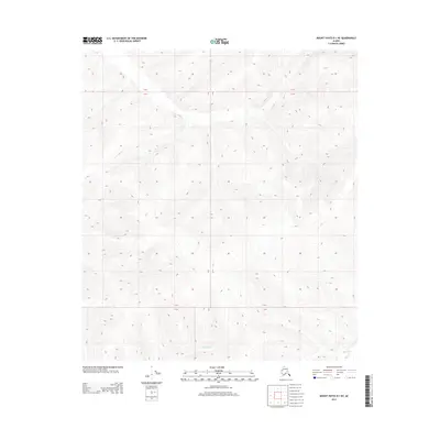
2013 Map of Mount Hayes D-1 NE
USGS Topo · Published 2013About this map
George Creek flows through the southern reaches of this interior Alaskan wilderness, carving a drainage through the high elevations of the Township 24 North and Township 25 North border. The landscape is defined by its extreme verticality and the isolation of the Eastern Alaska Range, where the terrain rises from 1,800 feet near the creek bed to peaks exceeding 4,000 feet. This 2013 survey records the intricate contour lines of the Unorganized Borough, providing a topographic record of the drainage patterns and ridge lines that dictate travel and land use in this roadless portion of the state. The absence of human-named infrastructure highlights the preservation of the public land survey system markers, including the intersections of Range 6 East and Range 7 East.
Find a feature on this map
6 named features on this map. Tap any name to fly to it.
Don’t see what you’re looking for? This feature index may not catch every label — zoom into the map to look around manually.
Map Details
Editions of this 2013 Mount Hayes D-1 NE Map
This is the sole edition of this map. No revisions or reprints were ever made.
Other maps of this area

1949 · Tanacross
USGS Topo · 1:250,000

1950 · Tanacross
USGS Topo · 1:250,000

1950 · Mount Hayes
USGS Topo · 1:250,000

1950 · Big Delta
USGS Topo · 1:250,000

1951 · Big Delta
USGS Topo · 1:250,000

1951 · Mount Hayes
USGS Topo · 1:250,000

1951 · Eagle
USGS Topo · 1:250,000

1954 · Mount Hayes D-1
USGS Topo · 1:63,360

1954 · Tanacross D-6
USGS Topo · 1:63,360

1955 · Big Delta A-1
USGS Topo · 1:63,360