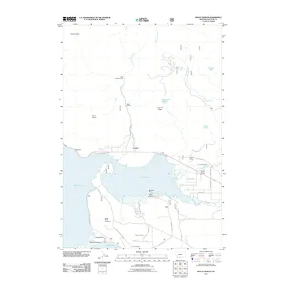
2011 Map of Mount Hebgen
USGS Topo · Published 2011About this map
Hebgen Lake dominates this Montana landscape, where the waters of the Madison Valley meet the rugged slopes of the Gallatin Range. In the early 21st century, the area around Horse Butte Peninsula and Rainbow Point reveals a recreation-oriented economy, anchored by the Rainbow Point Campground and local establishments like the Parade Rest Ranch. A network of Forest Service and local roads, including Whiskey Jug Rd and Horse Butte Lookout Rd, provides access to the shoreline and higher elevations like Mount Hebgen. Geologically, the presence of the Red Canyon Fault running north from Grayling underscores the seismic history of this region. The map also documents small settlements and essential services such as Lakeview and the Northside Rural Fire Dist, illustrating the permanent infrastructure supporting this high-altitude basin.
Find a feature on this map
36 named features on this map. Tap any name to fly to it.
Don’t see what you’re looking for? This feature index may not catch every label — zoom into the map to look around manually.
Map Details
Editions of this 2011 Mount Hebgen Map
This is the sole edition of this map. No revisions or reprints were ever made.
Other maps of this area

1950 · Hebgen Dam
USGS Topo · 1:62,500

1955 · Ashton
USGS Topo · 1:250,000

1958 · Ashton
USGS Topo · 1:250,000

1958 · West Yellowstone
USGS Topo · 1:62,500
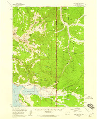
1958 · Tepee Creek
USGS Topo · 1:62,500

1960 · Ashton
USGS Topo · 1:250,000

1964 · Targhee Pass
USGS Topo · 1:24,000

1964 · Henrys Lake
USGS Topo · 1:62,500
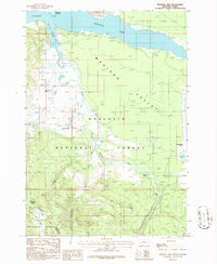
1986 · Madison Arm
USGS Topo · 1:24,000
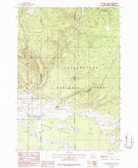
1986 · Richards Creek
USGS Topo · 1:24,000