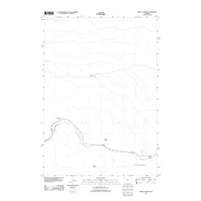
2012 Map of Mount Jackson
USGS Topo · Published 2012About this map
Mount Jackson and the surrounding high country of Yellowstone National Park dominate this 2012 survey. The landscape is defined by its dramatic relief and water systems, with the Madison River winding through the southern portion of the sheet. Evidence of park infrastructure and management is visible at the Cougar Creek Patrol Cabin, while the Riverside Dr and the Madison Range Overlook provide points of access for visitors to observe the geological formations.
Find a feature on this map
13 named features on this map. Tap any name to fly to it.
Don’t see what you’re looking for? This feature index may not catch every label — zoom into the map to look around manually.
Map Details
Editions of this 2012 Mount Jackson Map
This is the sole edition of this map. No revisions or reprints were ever made.
Other maps of this area

1885 · Gallatin
USGS Topo · 1:125,000

1885 · Gallatin
USGS Topo · 1:125,000

1901 · Gallatin
USGS Topo · 1:125,000

1908 · Gallatin
USGS Topo · 1:125,000

1911 · Gallatin
USGS Topo · 1:125,000

1955 · Ashton
USGS Topo · 1:250,000

1958 · Ashton
USGS Topo · 1:250,000

1958 · Madison Junction
USGS Topo · 1:62,500

1958 · Mount Holmes
USGS Topo · 1:62,500

1958 · West Yellowstone
USGS Topo · 1:62,500