
1951 Map of Mount Katmai A-6
USGS Topo · Published 1956About this map
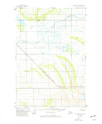
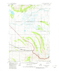
Katmai National Monument dominates this mid-century topographic study, capturing the wilderness character of the Alaska Peninsula before statehood. The terrain is defined by the winding paths of Takayoto Creek and Angle Creek, which drain the mountainous interior toward the Bristol Bay region. The National Monument Boundary cuts a sharp diagonal across the landscape, marking a clear divide between the protected volcanic wilderness and the surrounding backcountry near Contact Creek and Gertrude Creek. This map, based on 1951 aerial photography, documents the hydrological patterns of the Katmai region during a period of minimal human infrastructure, emphasizing the natural drainage systems and elevation changes that define this subarctic environment.
Find a feature on this map
7 named features on this map. Tap any name to fly to it.
Don’t see what you’re looking for? This feature index may not catch every label — zoom into the map to look around manually.
Map Details
Editions of this 1951 Mount Katmai A-6 Map
3 editions found
Other maps of this area

1943 · Ugashik
USGS Topo · 1:250,000

1948 · Mt Katmai
USGS Topo · 1:250,000

1948 · Ugashik
USGS Topo · 1:250,000

1949 · Ugashik
USGS Topo · 1:250,000

1951 · Mt Katmai
USGS Topo · 1:250,000

1951 · Karluk
USGS Topo · 1:250,000

1951 · Ugashik D-1
USGS Topo · 1:63,360

1951 · Mount Katmai B-6
USGS Topo · 1:63,360

1951 · Naknek B-1
USGS Topo · 1:63,360

1951 · Karluk D-6
USGS Topo · 1:63,360