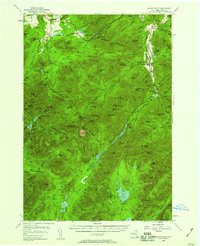
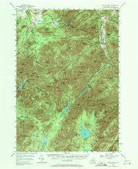
1953 Map of Mount Marcy
USGS Topo · Published 1959About this map
The High Peaks of Essex County are documented here in a survey based on field checks from 1953, revealing the complex network of trails and waterways that define this section of the Adirondack State Park. The map centers on the massive elevation of Mt Marcy, where the high-altitude Lake Tear of the Clouds serves as a critical headwater for the Opalescent River. To the north, the terrain transitions into the valley floor near North Elba, featuring the Olympic Bobsled Run and the North Country Sch. The eastern corridor along the West Branch Ausable River shows the concentrated settlements of Keene Valley and Saint Huberts, supported by Marcy Airfield. For those tracing local history, the map preserves the locations of the Norton Cem and several administrative landmarks like the Ranger Headquarters near Phelps Brook. This record of the mid-century landscape captures the era of classic Adirondack recreation at Adirondak Loj before more modern developments altered the wilderness character.
Find a feature on this map
184 named features on this map. Tap any name to fly to it.
Don’t see what you’re looking for? This feature index may not catch every label — zoom into the map to look around manually.
Map Details
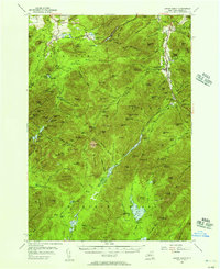
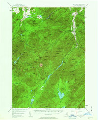
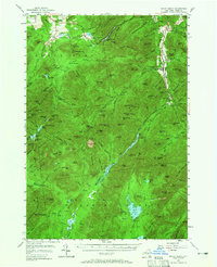
Editions of this 1953 Mount Marcy Map
5 editions found
Other maps of this area

1894 · Elizabethtown
USGS Topo · 1:62,500

1895 · Elizabethtown
USGS Topo · 1:62,500

1895 · Mt. Marcy
USGS Topo · 1:62,500

1895 · Ausable
USGS Topo · 1:62,500

1895 · Paradox Lake
USGS Topo · 1:62,500

1896 · Lake Placid
USGS Topo · 1:62,500

1897 · Paradox Lake
USGS Topo · 1:62,500

1897 · Schroon Lake
USGS Topo · 1:62,500

1898 · Newcomb
USGS Topo · 1:62,500

1898 · Lake Placid
USGS Topo · 1:62,500