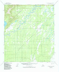
1952 Map of Mount McKinley D-3
USGS Topo · Published 1984About this map
The Kantishna River meanders through the heart of this Alaskan interior landscape, carving a serpentine path across a region dominated by wetlands and low-lying drainages. This 1952 topographic study, later updated to reflect the boundaries of Denali National Park and Preserve, captures a wilderness characterized by extensive marshlands and watercourses like Bear Creek and Moose Creek. To the west, the substantial Chilchukabena Lake stands as a primary landmark in a territory with minimal permanent infrastructure.
Find a feature on this map
11 named features on this map. Tap any name to fly to it.
Don’t see what you’re looking for? This feature index may not catch every label — zoom into the map to look around manually.
Map Details
Editions of this 1952 Mount McKinley D-3 Map
3 editions found
Other maps of this area

1948 · Kantishna River
USGS Topo · 1:250,000

1951 · Kantishna River
USGS Topo · 1:250,000

1952 · Mount McKinley
USGS Topo · 1:250,000

1952 · Kantishna River A-3
USGS Topo · 1:63,360

1952 · Kantishna River
USGS Topo · 1:250,000

1952 · Mount McKinley C-3
USGS Topo · 1:63,360

1952 · Kantishna River A-2
USGS Topo · 1:63,360

1952 · Mount McKinley C-2
USGS Topo · 1:63,360

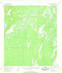
1952 · Mount McKinley D-3
USGS Topo · 1:63,360

1953 · Kantishna River A-4
USGS Topo · 1:63,360