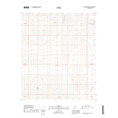
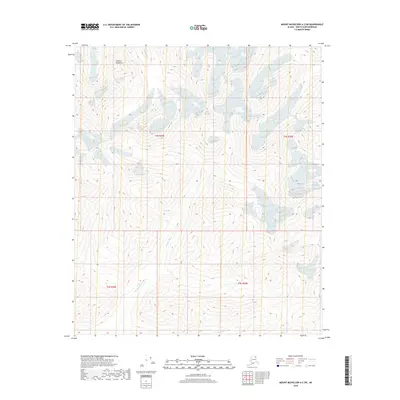
2018 Map of Mount Michelson A-3 NE
USGS Topo · Published 2018About this map
The Franklin Mountains dominate the southern half of this landscape, presenting a complex system of ridges and high-elevation drainages in the Arctic region. This 2018 survey documents a remote watershed characterized by north-flowing watercourses, most notably the Sadlerochit River which cuts through the northern portion of the quadrangle. The terrain is defined by its dramatic relief, where deep valleys are carved by seasonal flow from Franklin Cr and Whistler Cr. The map lack any human infrastructure, roads, or settlements, instead recording the undisturbed natural geography and the Township and Range boundaries used for public land management in this wilderness area. It serves as a precise record of hydrologic patterns and topographical contours before any potential future development or environmental changes occur in these northern reaches.
Find a feature on this map
13 named features on this map. Tap any name to fly to it.
Don’t see what you’re looking for? This feature index may not catch every label — zoom into the map to look around manually.
Map Details
Editions of this 2018 Mount Michelson A-3 NE Map
This is the sole edition of this map. No revisions or reprints were ever made.
Other maps of this area

1951 · Mt. Michelson
USGS Topo · 1:250,000

1956 · Mt. Michelson
USGS Topo · 1:250,000

1956 · Mount Michelson B-2
USGS Topo · 1:63,360

1956 · Mount Michelson B-3
USGS Topo · 1:63,360

1983 · Mount Michelson A-3
USGS Topo · 1:63,360

1983 · Mount Michelson A-2
USGS Topo · 1:63,360
2018 · Mount Michelson B-2 SW
USGS Topo · 1:25,000
2018 · Mount Michelson A-2 NW
USGS Topo · 1:25,000
2018 · Mount Michelson A-3 NW
USGS Topo · 1:25,000
2018 · Mount Michelson A-2 SW
USGS Topo · 1:25,000