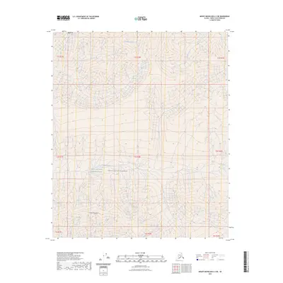
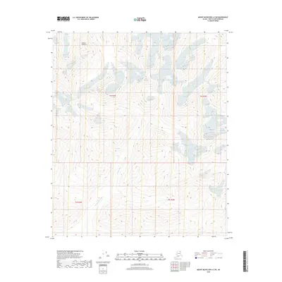
2023 Map of Mount Michelson A-3 NE
USGS Topo · Published 2023About this map
The Franklin Mountains define this high-latitude terrain within the Arctic National Wildlife Refuge, where the landscape is shaped by the complex hydrology of the north slope. This 2023 survey delineates the protected bounds of the Mollie Beattie Wilderness, a region preserved for its undeveloped character. The drainage patterns are clearly visible, with the Sadlerochit River carving through the northern sections while Franklin Creek and Whistler Creek navigate the high-relief contours of the range. The map illustrates a wilderness devoid of modern infrastructure, showing only the natural intersection of mountain peaks and alpine waterways. Researchers can trace the precise topographic relationships between these named water bodies and the surrounding summits of the eastern Brooks Range.
Find a feature on this map
15 named features on this map. Tap any name to fly to it.
Don’t see what you’re looking for? This feature index may not catch every label — zoom into the map to look around manually.
Map Details
Editions of this 2023 Mount Michelson A-3 NE Map
This is the sole edition of this map. No revisions or reprints were ever made.
Other maps of this area

1951 · Mt. Michelson
USGS Topo · 1:250,000

1956 · Mt. Michelson
USGS Topo · 1:250,000

1956 · Mount Michelson B-2
USGS Topo · 1:63,360

1956 · Mount Michelson B-3
USGS Topo · 1:63,360

1983 · Mount Michelson A-3
USGS Topo · 1:63,360

1983 · Mount Michelson A-2
USGS Topo · 1:63,360
2018 · Mount Michelson B-2 SW
USGS Topo · 1:25,000
2018 · Mount Michelson A-2 NW
USGS Topo · 1:25,000
2018 · Mount Michelson A-3 NW
USGS Topo · 1:25,000
2018 · Mount Michelson A-2 SW
USGS Topo · 1:25,000