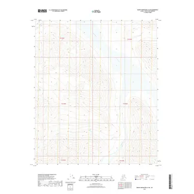
2018 Map of Mount Michelson A-4 NE
USGS Topo · Published 2018About this map
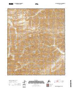
Canning River dominates the drainage patterns of this high-latitude terrain, where glacial valleys and steep topographical contours define the North Slope's interior. The map illustrates a primary braided waterway and its significant tributaries, including the Marsh Fork and the southward-draining Salisbury Cr. This 2018 survey reveals a landscape largely devoid of human structures, focused instead on the hydrography and elevation data that guide traverse through the Brooks Range foothills. The northernmost section includes the headwaters of Plunge Cr, showcasing a network of perennial streams that carved these deep V-shaped valleys over millennia. For researchers, the map provides precise land office grid locations, such as t3s r26e, which anchor these natural features to the Public Land Survey System in an area otherwise lacking in man-made landmarks.
Find a feature on this map
10 named features on this map. Tap any name to fly to it.
Don’t see what you’re looking for? This feature index may not catch every label — zoom into the map to look around manually.
Map Details
Editions of this 2018 Mount Michelson A-4 NE Map
This is the sole edition of this map. No revisions or reprints were ever made.
Other maps of this area

1951 · Mt. Michelson
USGS Topo · 1:250,000

1956 · Mt. Michelson
USGS Topo · 1:250,000

1956 · Mount Michelson B-3
USGS Topo · 1:63,360

1983 · Mount Michelson A-3
USGS Topo · 1:63,360
1983 · Mount Michelson A-4
USGS Topo · 1:63,360
1983 · Mount Michelson B-4
USGS Topo · 1:63,360
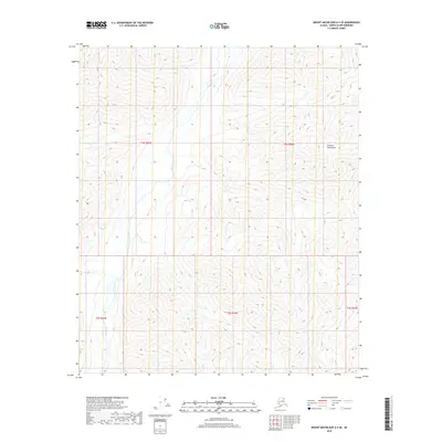
2018 · Mount Michelson A-4 SE
USGS Topo · 1:25,000
2018 · Mount Michelson A-4 SW
USGS Topo · 1:25,000
2018 · Mount Michelson A-3 NW
USGS Topo · 1:25,000
2018 · Mount Michelson B-4 SE
USGS Topo · 1:25,000