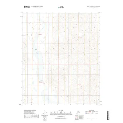
2018 Map of Mount Michelson B-4 SE
USGS Topo · Published 2018About this map
The Canning River carves a broad path through the North Slope landscape in this 2018 survey, defining the wide Canning Valley that dominates the western portion of the quadrangle. This glacial valley serves as a primary drainage corridor, where the river's braided channels and gravel bars indicate a dynamic hydrological environment. To the south, the tributary Plunge Cr feeds into the main river system, cutting through the high-elevation terrain that rises sharply to the east. The map illustrates the stark transition between the flat river basin and the surrounding uplands, providing a clear view of the topographical boundaries within T1S and T2S. While no permanent settlements or structures are indicated, the landforms recorded by the U.S. Geological Survey detail a wilderness where water and elevation dictate the character of the terrain.
Find a feature on this map
7 named features on this map. Tap any name to fly to it.
Don’t see what you’re looking for? This feature index may not catch every label — zoom into the map to look around manually.
Map Details
Editions of this 2018 Mount Michelson B-4 SE Map
This is the sole edition of this map. No revisions or reprints were ever made.
Other maps of this area

1951 · Mt. Michelson
USGS Topo · 1:250,000

1956 · Mt. Michelson
USGS Topo · 1:250,000

1956 · Mount Michelson B-3
USGS Topo · 1:63,360

1983 · Mount Michelson A-3
USGS Topo · 1:63,360
1983 · Mount Michelson A-4
USGS Topo · 1:63,360
1983 · Mount Michelson B-4
USGS Topo · 1:63,360
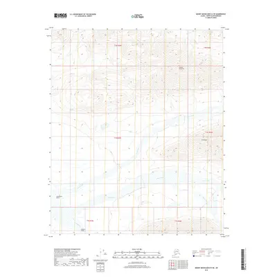
2018 · Mount Michelson B-4 NE
USGS Topo · 1:25,000
2018 · Mount Michelson A-3 NW
USGS Topo · 1:25,000
2018 · Mount Michelson B-3 NW
USGS Topo · 1:25,000
2018 · Mount Michelson A-4 NW
USGS Topo · 1:25,000